
Plan de Montmajou – Sommet de Prat-Pardin, out and back along the ridge which marks the border with Spain, from the village of Artigue.
Route details and GPX track:
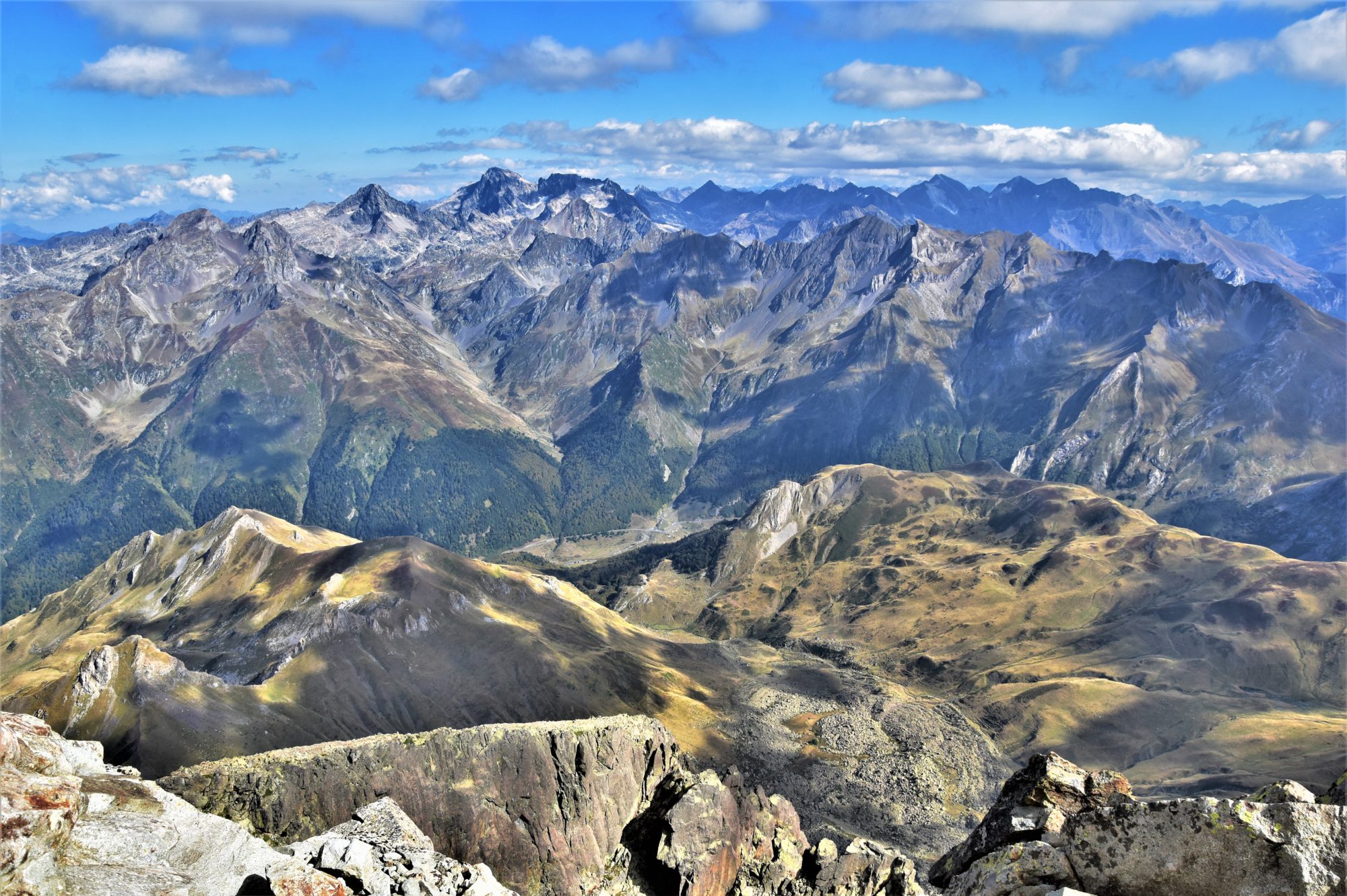
A gentle ascent via the GR10 from Artigue (mandatory car park just before the entrance of the village) to the foot of the Plan de Montmajou (2081m), via the Cabane de Saunères, then straight up to the top; next I followed the ridge which marks the boundary between Spain and France in a southbound direction, to the Sommet de Prat Pardin (1982m) via two minor tops. Return along the ridge and along the SW slopes of the Plan de Montmajou to rejoin the GR10.
Continue reading “Plan de Montmajou-Sommet de Prat-Pardin from Artigue”
